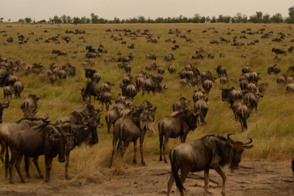
A difficult and rewarding path to climb Mount Kilimanjaro, the highest mountain in Africa, is the 8-day Lemosho route. This path passes through some of the mountain’s most exquisite and varied scenery, providing breathtaking views of the surroundings. The Lemosho trail begins in a lush jungle and gradually climbs to the Shira Plateau, where you may take in the breathtaking sight of the mountain’s recognizable snow-capped peak. From there, you will traverse the challenging Karanga Valley terrain and scale the Barranco Wall, an exhilarating and unforgettable adventure. Finally, the route ascends to the top via the Barafu Camp, from which you will start your journey early in the morning and eventually reach Uhuru Peak.
Kilimanjaro International Airport
3 Hours Before Flight Time
Drive to Londorossi Park Gate (approximately a 3-hour drive) following breakfast and briefing. Lemosho Glades can be reached from here by a woodland track that calls for a 4WD vehicle. To reach the Mti Mkubwa (large tree) campsite, follow the woodland pathways.
1830 m (6000 ft) to 2650 m (8670 ft) in elevation
We continue after breakfast as the trail increasingly becomes steeper and enters the area of massive heather moors. We proceed across a number of streams before gently descending to Shira 1 camp, which is situated by a stream on the Shira Plateau.
2650 m/8 700 ft to 3 500 m/11 500 ft in elevation
After breakfast, you can reach Shira 2 camp on moorland meadows near a stream by taking a leisurely trek across the plateau. The Plateau offers a range of hikes, making it a great day for acclimatization.
Elevation: between 3500m and 12600m
We proceed eastward from the Shira Plateau along a hill, past the intersection that leads to Kibo’s peak. As we proceed, we turn to the south-east in the direction of the “Shark’s Tooth” Lava Tower (4650m/15,250ft). The second junction, leading to the Arrow Glacier, is located not far from the tower. Moving on, we descend to the Barranco Camp. Despite the fact that you start and end the day at roughly the same level, this day is crucial for acclimatization and will assist your body get ready for summit day.
3850 m (12,600 ft) to 4000 m (13,000 ft) in elevation
After breakfast, we depart Barranco and travel over a ridge that ascends the Barranco Wall until we reach the Karanga Valley and the intersection of the Mweka Trail.
Elevation: between 4000m (13,000ft) and 4050m (13,250ft)
We keep going until we reach Barafu Camp. You have finished the South Circuit, which gives numerous perspectives of the top. We set up camp here, take a nap, eat dinner, and get ready for the summit day.
4050 m (13,250 ft) to 4700 m (15,350 ft) in elevation
We continue climbing to the summit between the Rebmann and Ratzel glaciers between midnight and two in the morning. You travel northwest and make your way over steep scree towards Stella Point on the crater rim. The hardest part of the walk both physically and mentally is this section. You’ll take a little break at Stella Point, where you’ll be rewarded with the most breathtaking sunrise you’re ever likely to witness. The sunrise can be seen from the peak by more rapid hikers.
On your hour-long journey to the summit from Stella Point, you might run into snow the entire way. The highest peak on Mount Kilimanjaro and the African continent can be found at Uhuru Peak.
The descend to the Mweka Park Gate to pick up your summit certificates continues after breakfast. It may be rainy and muddy at lower elevations. Walking sticks and gaiters will be useful. You’ll probably only need a pair of shorts and a t-shirt, but keep warm clothes and rain gear nearby.


I recommend this company for Unforgettable safari